
Navigating the open waters can be both exhilarating and challenging for sailors and boaters alike. One of the most crucial tools for ensuring safe and efficient marine navigation is the Global Positioning System (GPS). With the advancements in technology, GPS has become an indispensable tool for sailors, providing accurate positioning, tracking, and route planning capabilities. In this article, we will explore how to effectively use GPS for marine navigation.
Understanding the Basics of GPS
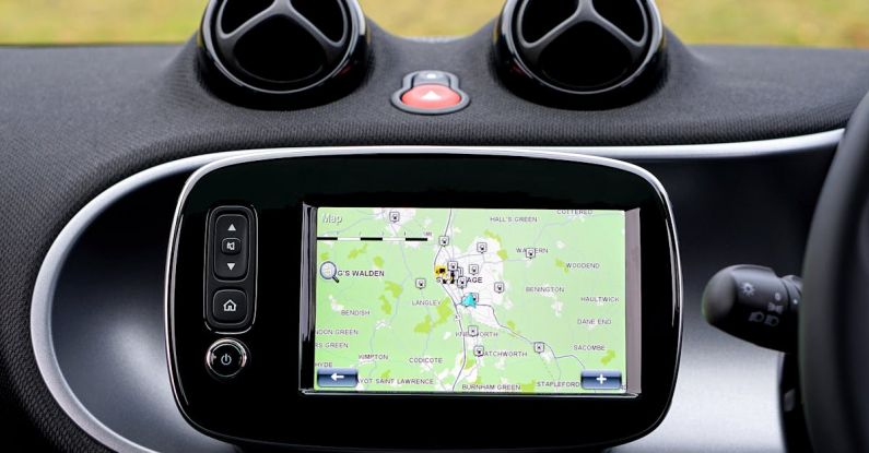
GPS is a satellite-based navigation system that enables users to determine their precise location anywhere on Earth. The system consists of a network of satellites orbiting the Earth, continuously transmitting signals that can be picked up by GPS receivers. These receivers then calculate the user’s position by triangulating signals from multiple satellites.
For marine navigation, GPS receivers are specifically designed to withstand the harsh conditions of the sea and provide accurate location information even in challenging environments. Modern GPS devices come equipped with various features such as chart plotting, waypoint marking, and route planning, making them essential tools for navigating the waters.
Setting Up Your GPS Device
Before setting sail, it is crucial to ensure that your GPS device is properly set up and calibrated for marine use. Start by powering on the device and allowing it to acquire satellite signals. This process may take a few minutes, especially if you are in a location with limited visibility of the sky, such as near tall buildings or cliffs.
Once the device has locked onto the satellites, check the accuracy of the position displayed on the screen. Most GPS devices provide information on the number of satellites in view and the accuracy of the position fix. A higher number of satellites and lower accuracy value indicate a more reliable position reading.
Marking Waypoints and Creating Routes
One of the key features of GPS devices for marine navigation is the ability to mark waypoints and create routes. Waypoints are specific locations that you may want to navigate to or mark for reference. To mark a waypoint, simply navigate to the desired location on the GPS screen and save it as a point of interest.
Creating routes allows you to plan your journey in advance by connecting multiple waypoints in a sequence. This feature is particularly useful for longer journeys or navigating through complex waterways. When creating a route, consider factors such as weather conditions, currents, and potential hazards along the way.
Navigating with GPS
Once you have set up your GPS device and marked waypoints or created routes, it is time to put your navigation skills to the test. As you sail, the GPS device will continuously update your position on the chart display, showing your track, speed, and heading relative to the waypoints or route.
Pay close attention to the information displayed on the screen, including your distance to the next waypoint, estimated time of arrival, and any deviations from the planned route. GPS devices often provide alarms or notifications for proximity to hazards, anchor drag, or course deviations, allowing you to make timely adjustments to your navigation plan.
Mastering GPS for Marine Navigation
To master the art of using GPS for marine navigation, practice is key. Familiarize yourself with the features and capabilities of your GPS device, experiment with marking waypoints and creating routes, and simulate various navigation scenarios to enhance your skills.
Additionally, stay informed about updates to GPS technology and navigation best practices to ensure safe and efficient navigation on the water. By harnessing the power of GPS for marine navigation, you can navigate with confidence and explore the seas with ease.